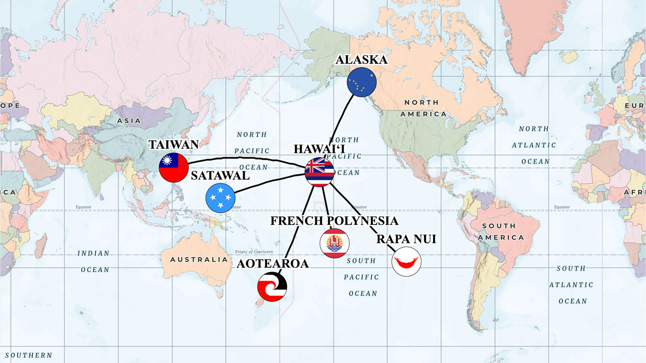
MOANANUIĀKEA INTERACTIVE MAP
Our interactive map stretches across Moananuiākea, the vast Pacific Ocean. Learn more about our ʻAha Moananuiākea Pacific Consortium members and partners by taking self-directed field trips to their various locations.
Click on different points on the map and zoom in or out as you travel. Greeting you at each port is a brief video to whet your appetite for deeper exploration. Switch the map features between GPS imagery, topographical, oceanic, National Geographic, and street map. You can even trace the paths of traditional voyaging canoes Hōkūleʻa and Hawaiʻiloa by toggling map layers. Click on the “i” for more navigation hints.